

Pacific Northwest Winter 2026-27 Snow Outlook: What Forecasters Are Saying

Brad Caton • September 26, 2026

Share this article

Updated September 26, 2026. We will refresh this outlook after NOAA's October 8 ENSO update and October 15 seasonal outlook, and again in mid-November.

The short version

NOAA says a very strong El Niño is now more than 90% likely for the 2026-27 winter, and there is a 75% chance it becomes the strongest on record. For the Pacific Northwest that usually means a milder, drier winter overall. It does not mean no snow. Forecasters are flagging two wildcards this year: a negative Pacific Decadal Oscillation that could blunt the warm signal on the coast, and the possibility of one or more cold-air outbreaks across the northwest corner of the continent.

For property owners and managers in Vancouver, Seattle, and Portland, the practical takeaway is the same one it always is here: our region's costliest winter events are short, sharp, and often arrive in "mild" years. The 2023-24 El Niño winter delivered a 12-day run of ice storms to Portland in January 2024 that killed several people and left tens of thousands without power for days. Planning has to assume the event, not the average.

Below is what the official agencies, the almanacs, and local meteorologists are actually saying, with links to every source, followed by what history shows for winters like this one and what it means city by city.

What NOAA is forecasting

A very strong El Niño is locked in. In its September 10, 2026 ENSO Diagnostic Discussion, NOAA's Climate Prediction Center kept an El Niño Advisory in place and put the odds of a very strong event during fall and winter 2026-27 at greater than 90%. Sea surface temperature anomalies exceeded +3.0°C in the eastern equatorial Pacific in August, and the Niño-3.4 index reached +1.8°C. For October through December, CPC gives a 75% chance of a historic event that exceeds every El Niño on record since 1950. The next update is scheduled for October 8, 2026.

What that means for our winter. CPC's seasonal outlook discussion issued September 17, 2026 leans on that El Niño heavily:

  • Temperature: above-normal mean temperatures are favored west of the Rockies from November through early spring, with the highest chances (50 to 60%) over the interior Northwest and the northern tier of states. The coastal Pacific Northwest is tilted warm too, but CPC says those probabilities were "tempered a bit" because of the PDO.
  • Precipitation: a modest tilt toward below-normal precipitation over the interior Northwest through February-March-April 2027. The El Niño wet signal in California is expected to reach as far north as central Oregon, "and possibly farther north given the intensity of this current El Niño event."
  • The caveats CPC itself raises. The three strongest El Niños since 1950 (1982-83, 1997-98, 2015-16) all occurred with a positive Pacific Decadal Oscillation, which reinforced the warm pattern. This year the PDO is negative (August value -1.11), which "may dampen the typical impacts of a strong El Niño in certain areas." The warm pool that normally sits in the Gulf of Alaska during strong El Niños has also shifted west, which "may allow for slightly cooler water to influence portions of the U.S. West coast." And CPC explicitly notes "the possibility of one or more cold air outbreaks across the northwestern quarter of the Lower 48 states," adding only that a single outbreak is unlikely to move a 90-day average.

That last line is the whole story for snow and ice operations. Seasonal outlooks forecast averages. Our business is the outbreak.

What local experts and the almanacs are saying

The region's two most-quoted climate scientists disagree, and that disagreement is the most useful thing in this article.

Cliff Mass, University of Washington atmospheric scientist, says the "super El Niño" fear is overblown. In an August 28, 2026 post, Mass argues that very strong El Niños behave differently from moderate ones. Moderate to strong El Niños are associated with less snowpack and drier conditions, but he writes that very strong El Niños bring near-normal snowpack and plenty of moisture, pointing to 1982-83, 1997-98, 2015-16, and 2023-24. His data shows October to April precipitation in those years averaged slightly above normal, April 1 snowpack near normal at Crystal Mountain, Stampede Pass, and Snoqualmie Pass, and Washington surface temperatures about 1°F above normal. His mechanism: a very deep North Pacific low that drives enhanced southwesterly flow and moisture into the West Coast.

Larry O'Neill, Oregon's state climatologist, is more cautious. In a September 10, 2026 OPB report, O'Neill called the developing event "off the charts" and said the region is "in uncharted territory" because scientists are still learning how El Niño interacts with a warmer climate. He agrees an extreme El Niño can funnel the jet stream toward Oregon and Washington and that the three previous super El Niños produced above-average snowpack, but expects most of this year's precipitation to fall as rain because of warmer temperatures. He also noted last winter was Oregon's worst snowpack on record, so "it won't take much" to beat it.

Read together: both expect a wet winter. The disagreement is over how much of it falls as snow, and at what elevation. For lowland Vancouver, Seattle, and Portland, that is exactly the rain-to-snow line that produces ice storms, freezing rain, and the wet, heavy snow that shuts down cities.

The almanacs. The Old Farmer's Almanac calls for warmer-than-normal temperatures in the Pacific Northwest with above-normal precipitation and snowfall, and names late December, mid-January, and mid-February as the snowiest periods. The Farmers' Almanac describes a "more changeable and somewhat less dependable snow season" for the Northwest, with near-normal temperatures, an active storm pattern, and below-normal snow at lower elevations. Both almanacs claim roughly 80% accuracy; professional meteorologists are openly skeptical of their methods, so treat them as color, not planning inputs.

Industry read. The trade publication Snowplow News summarized NOAA's September update for snow contractors with a line worth keeping: ENSO loads the dice, it does not roll them.

What history says about El Niño winters here

The pattern is consistent: El Niño winters in the lowland Northwest are usually mild and snow-light, and the exceptions are some of the worst winter events on record.

Justin Shaw of Seattle Weather Blog ran the numbers for Seattle Met: of the eight strong El Niño winters since 1950, Sea-Tac recorded zero snowfall in six. The other two produced 22.9 inches (1965-66) and the all-time record of 67.5 inches (1968-69). Seattle's snowiest February in more than a century, the 21-inch "Snowmageddon" of 2019, came in an El Niño winter after November, December, and January had all run warm.

  • 2023-24, very strong El Niño. Jan 10 to 22, 2024: a 12-day run of storms, arctic air, and freezing rain across Oregon. 0.25 to 1 inch of ice across the Willamette Valley, up to 2 inches locally in Portland's West Hills, Gresham, and Troutdale. Multiple deaths, days-long outages. Vancouver, BC took heavy snow the same week. ( Oregon Dept. of Emergency Management, AP)
  • 2018-19, weak El Niño. No snow through January, then Seattle's snowiest February in 100+ years. 21.0 inches for the season, coldest February in 30 years, snow on the ground into March. ( Seattle Met)
  • 2015-16, very strong El Niño. Seattle's warmest winter on record (with "The Blob" offshore). 0.8 inches of snow across two winters combined. Wetter than average overall. ( Emerald City Weather)
  • 1997-98, very strong El Niño. Near-normal precipitation in the Northwest because the California-bound storms were large enough to reach us on their northern edge. (Emerald City Weather)
  • 1996-97, neutral turning to El Niño. Dec 26 to 29, 1996: 12 to 18 inches of snow in Seattle, followed by 2+ inches of rain and 50°F temperatures. Widespread roof and carport collapses. (Emerald City Weather)
  • 1968-69, El Niño. Sea-Tac's snowiest winter ever, 67.5 inches. (Seattle Met)
  • 1965-66, strong El Niño. 22.9 inches in Seattle, including a top-10 daily snowfall on Dec 23. (Seattle Met)

Two things stand out for anyone responsible for a parking lot, a loading dock, or a sidewalk.

First, the events cluster in late December through mid-February, which is also where both almanacs put this year's coldest and snowiest windows. Second, the damage is rarely from total snowfall. It comes from the transition: arctic air arriving ahead of a warm, wet Pacific system, which is exactly the setup a very strong El Niño's moisture-loaded storm track makes more likely when a cold outbreak does occur. That produces freezing rain and heavy wet snow, which is harder on people, roofs, and pavement than dry powder.

Seattle meteorologist Scott Sistek put it this way in August: if a record El Niño sets up an anomalous ridge over Alaska that forces arctic air south, and a warm, wet El Niño-fueled storm runs into it, you get a December 1996 scenario. He calls it a scenario, not a forecast. We would call it the thing you buy a contract for.

City by city

Vancouver and the Lower Mainland. Environment and Climate Change Canada's December to February seasonal forecast puts Vancouver in its highest probability category (90 to 100%) for above-normal temperatures, with a roughly normal precipitation signal for the city and a drier tilt for the Interior, according to a September 9 summary of ECCC's outlook. The Farmers' Almanac's Canadian outlook calls the coast "rainy, windy, brief thaws" and adds that brief intrusions of colder air can still push snow or mixed precipitation to lower elevations. For Metro Vancouver that means the risk is not a snowy winter, it is the two or three days when an arctic outflow meets a Pacific system and Surrey, Langley, and the North Shore get ice and wet snow at once. See our commercial snow removal services in Vancouver.

Seattle and Puget Sound.NOAA's outlook tilts warm but notes the coastal probabilities were softened because of the negative PDO and cooler nearshore water. The Seattle data above is the clearest in the region: strong El Niño winters usually produce little or no snow at Sea-Tac, and the exceptions include the record 1968-69 winter and the February 2019 shutdown. The almanacs both flag late December, mid-January, and mid-February. Cliff Mass expects near-normal mountain snowpack and above-normal moisture, which for the lowlands means the snow line is the whole story. See ourcommercial snow removal services in Seattle, covering Bellevue, Kirkland, Redmond, Everett, Kent, Federal Way, Tacoma, and Renton.

Portland and the Willamette Valley.This is where the El Niño wet signal reaches. CPC expects above-normal precipitation to extend "as far north as central Oregon, and possibly farther north given the intensity of this current El Niño event." Oregon's state climatologist expects most of it to fall as rain. But Portland's defining winter hazard is freezing rain, and January 2024, in a strong El Niño winter, was the proof: up to an inch of ice across the valley and two inches locally. The Old Farmer's Almanac's snowiest periods for the Northwest (late December, mid-January, mid-February) line up with Portland's coldest average highs. See ourcommercial snow removal services in Portland, covering Hillsboro, Tigard, Gresham, and Beaverton.

What property managers should do now

Brad Caton, founder of Invictus Snowfighters, wrote the book on this. Literally. In First In Snow: Inside the World of Snowfighting (Advantage, 2020), he lays out how a professional operation thinks about a winter like this one, and none of it depends on the seasonal average.

"Snow and ice management is more akin to fighting a forest fire than it is to cutting grass, especially in a scenario in which ice is heavily present."

"In reality, we are a disaster relief service."

On why timing matters more than the forecast, he tells the story of a Portland property manager who called in the middle of a November storm with ten malls under snow. Invictus said no. Not because it could not plow, but because it had not assessed the sites, cleared the paperwork, or assigned equipment. The following summer, Invictus booked all ten of her sites before the first flake fell.

"If a snowstorm is outside your door before you start searching for a professional, it is likely too late to snag a reputable professional with ample experience, equipment, and materials."

On the standard Invictus works to, regardless of how much snow a winter brings:

"We want the site so safe that Grandma could walk on it in her high heels."

Invictus runs a zero-tolerance policy on its high-traffic commercial sites rather than a two- or three-inch trigger, because shopping centres, grocery stores, hospitals, and business parks cannot wait for accumulation. In a winter where the main hazard is freezing rain and thin, wet snow on the rain-snow line, that distinction is the whole contract.

Five things to do in October, in order:

  1. Get your contract in place before the first cold snap. Capacity is assigned by contract. Non-contract customers are served after contract customers, and in an event week that can mean days. Our equipment-matched guarantee only works because we stop selling when the equipment is spoken for.
  2. Map the site now, not in the storm. Drainage low points, shaded walkways, loading dock slopes, and the one entrance the accessibility inspector cares about. A pre-season assessment is included in every commercial plan.
  3. Decide your trigger and your priorities in writing. One inch or two? Sidewalks before lots or lots before sidewalks? Which entrance first? A plan that lives in someone's head does not survive a 2 a.m. call.
  4. Ask about anti-icing, not just plowing. Freezing rain is the Northwest's signature event and a plow does nothing for it. Pre-treatment before the storm is what keeps a surface from bonding with ice. Ask for the product spec and whether it is LEED-compliant and safe for your concrete.
  5. Get the documents your insurer will ask for. Certificate of insurance, ISO SN9001 certification, GPS-verified service logs, and a written scope. Every RFQ we receive from a property manager asks for the same five things. Have them on file before the claim, not after.

Lock in your 2026-27 season proposal

Invictus is now assigning equipment and crews for the 2026-27 season across Metro Vancouver, Puget Sound, and the Portland metro. Request a season proposal and you will get, within one business day: seasonal and per-event pricing, a written scope (plowing, anti-icing, de-icing, sidewalks, hauling), our response-time commitment for your site, a certificate of insurance, and our ISO SN9001 certification.

Request a Season Proposal · Canada 604.220.9475 · USA 888.459.0994

Sources

Recent Posts

Person holding a large paper map while standing on a residential street outdoors.
By Brad Caton • September 25, 2026
Issuing a commercial snow removal RFP in the Pacific Northwest? Learn exactly what sections to include, the questions that separate strong contractors from costly mistakes, and why July–August is your window to act. From Invictus Snowfighters — I-5 corridor coverage from Vancouver to Portland.
Signed commercial snow removal contract on a desk with a pen
By Brad Caton • September 23, 2026
A commercial snow removal contract can quietly shift liability, response times, and renewal terms in the wrong direction. Invictus Snowfighters — the only snow removal company covering the full I-5 corridor from Vancouver, BC to Portland — breaks down the seven clauses to check before you sign. Request a quote today.
Trucks with red BOSS snowplows lined up on a snowy, wet street
By Brad Caton • September 21, 2026
A commercial snow removal SLA should define trigger depth, response windows, documentation, and equipment backup — most contracts leave one out. ISO SN9001-certified Invictus Snowfighters breaks down what belongs in yours across the I-5 corridor. Request a quote.
By Brad Caton • September 14, 2026
Apartment community snow removal needs more than plowing — resident safety and liability ride on the plan. ISO-certified, covering Vancouver, Seattle & Portland.
By Brad Caton • September 10, 2026
EV charging station snow removal isn't standard plowing — ADA access rules and equipment risk raise the stakes. See what Pacific Northwest properties need in their contract. ISO SN9001-certified Invictus covers Vancouver, Seattle, and Portland. Request a quote.
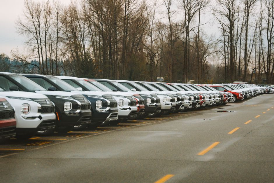
Rows of new vehicles on a car dealership lot lightly dusted with snow, Pacific Northwest
By Brad Caton • September 8, 2026
Car dealership snow removal protects more than pavement — it protects valuable vehicle inventory, customer safety, and your liability exposure. See what a dealership-specific SLA should include, from ISO SN9001-certified Invictus Snowfighters, the only snow removal company covering the full I-5 corridor from Vancouver to Portland. Request a quote.
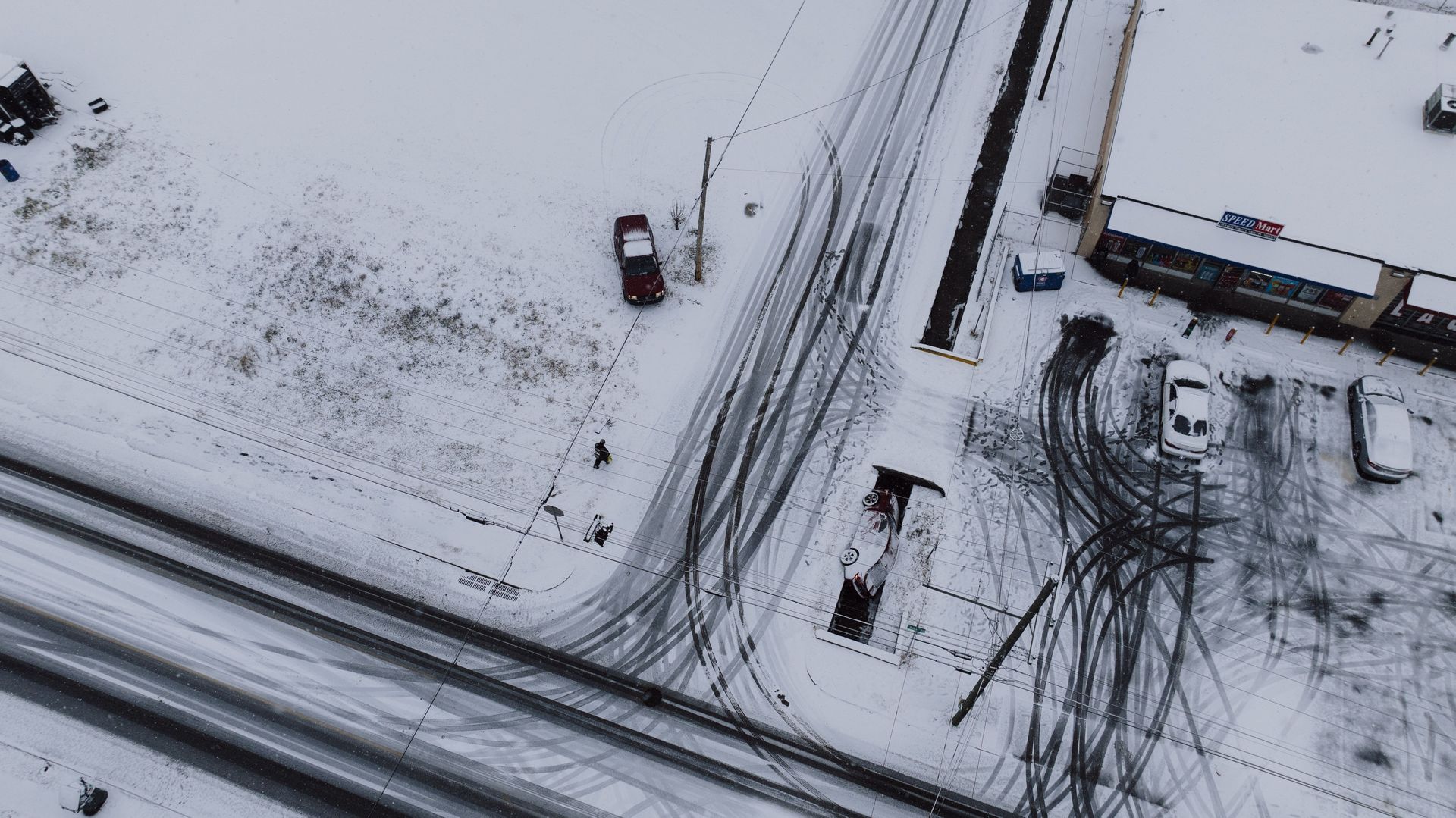
By Brad Caton • September 7, 2026
A snow removal RFP that skips the details invites bids you can't fairly compare. See what property managers should include, from service triggers to equipment guarantees. ISO SN9001-certified Invictus serves Vancouver, Seattle, and Portland. Request a quote.
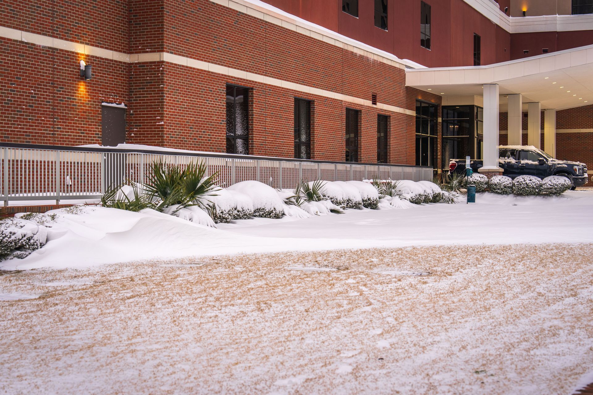
By Brad Caton • September 4, 2026
Snohomish County snow removal rules vary by city: Everett requires sidewalks clear by noon, Seattle uses a timely manner standard. See what your property owes and how Invictus keeps multi-city portfolios compliant.
Snow accumulated on a flat commercial building roof in the Pacific Northwest
By Brad Caton • September 3, 2026
Commercial roof snow load is a structural risk, not a parking lot one. See what IBC and ASCE 7 require, key warning signs, and a pre-winter checklist. Request a quote.

By Brad Caton • September 2, 2026
Snow removal contractor insurance takes more than a certificate. See what an additional insured endorsement requires, per ISO SN9001-certified Invictus. Get a quote.
Show More