
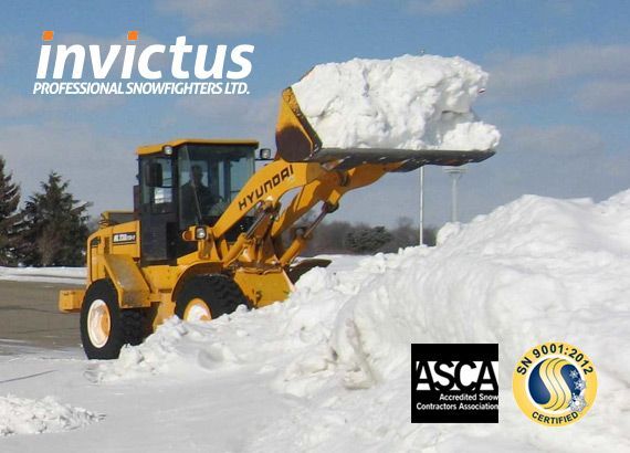
A record El Niño winter is forecast. What it means for snow and ice on Metro Vancouver commercial properties, what history shows, and what to do before the first arctic outflow.
A record El Niño is forecast and Portland sits on the rain-to-ice line. What January 2024 proved, what forecasters expect this winter, and what to do before the first arctic push.
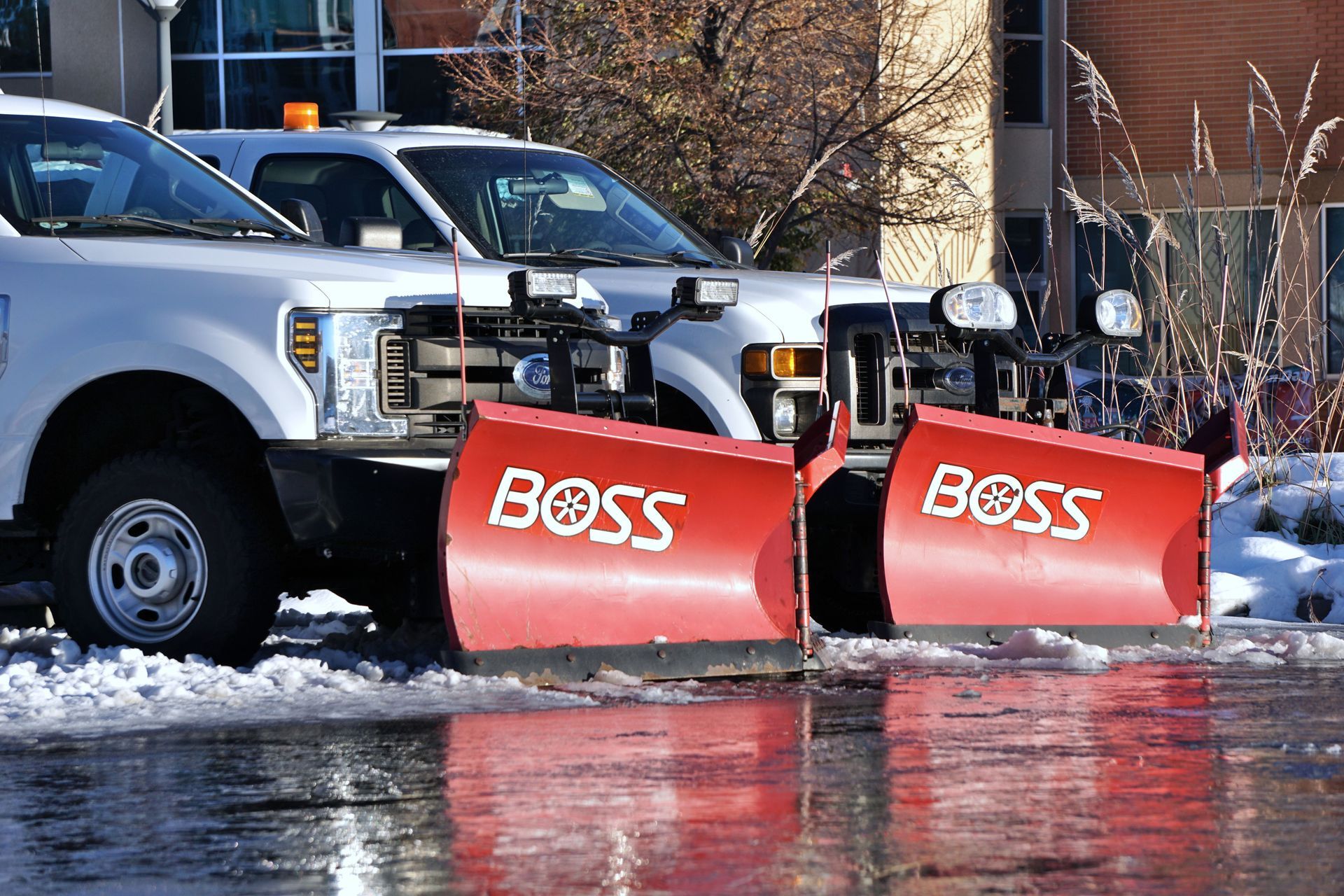
Commercial snow removal insurance requirements aren't optional paperwork — a missing endorsement can leave your property exposed after a slip-and-fall claim. See what Invictus's I-5 corridor teams carry and what your contract should require. Request a quote.
NOAA says a record El Niño is likely. What that means for snow and ice in Vancouver, Seattle and Portland, with sources, history, and what to do now.

Issuing a commercial snow removal RFP in the Pacific Northwest? Learn exactly what sections to include, the questions that separate strong contractors from costly mistakes, and why July–August is your window to act. From Invictus Snowfighters — I-5 corridor coverage from Vancouver to Portland.
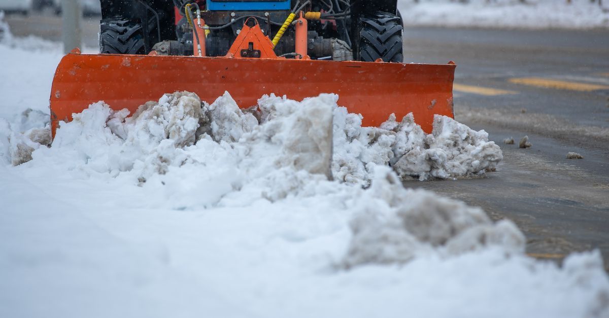
A commercial snow removal contract can quietly shift liability, response times, and renewal terms in the wrong direction. Invictus Snowfighters — the only snow removal company covering the full I-5 corridor from Vancouver, BC to Portland — breaks down the seven clauses to check before you sign. Request a quote today.
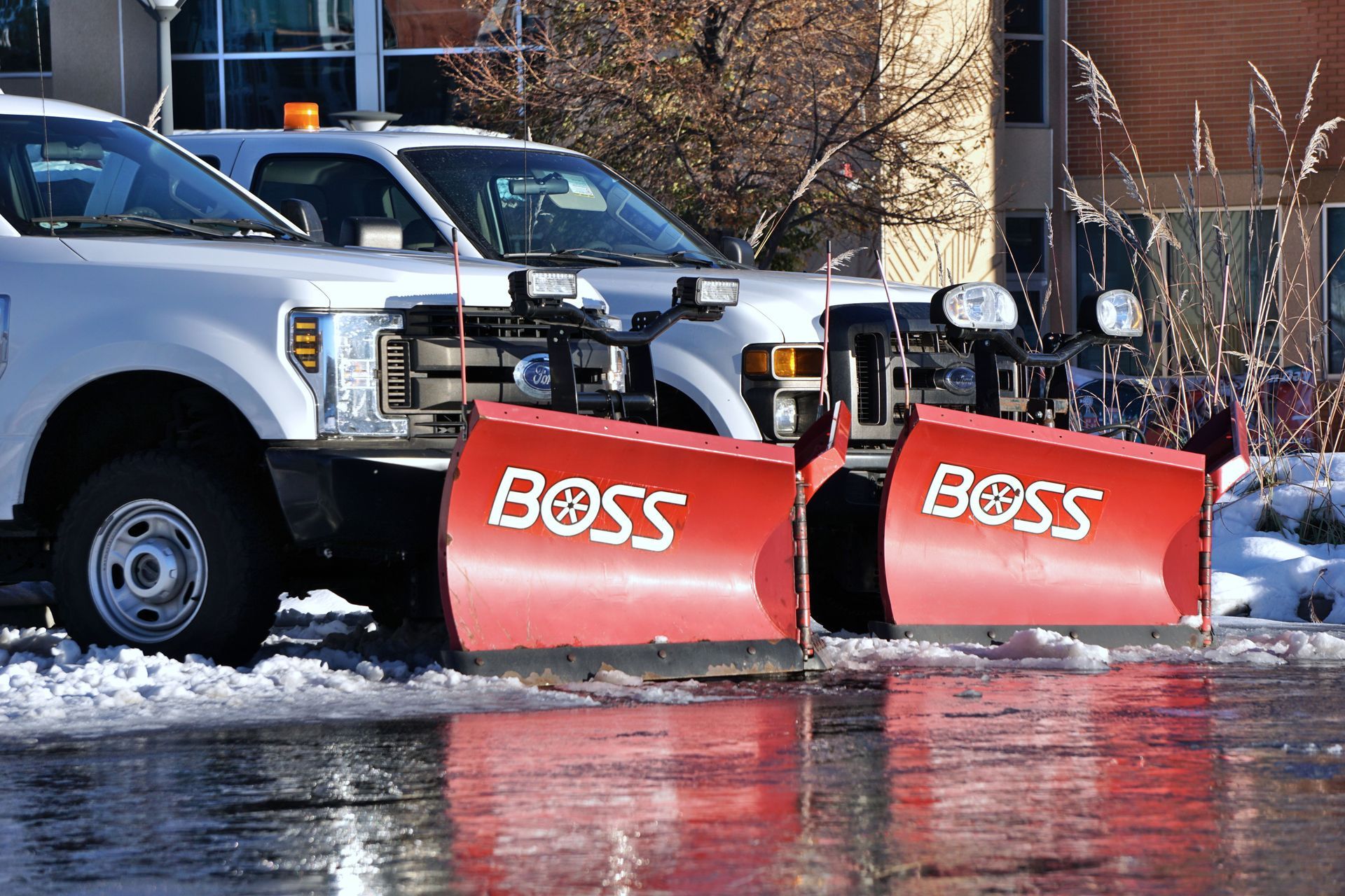
A commercial snow removal SLA should define trigger depth, response windows, documentation, and equipment backup — most contracts leave one out. ISO SN9001-certified Invictus Snowfighters breaks down what belongs in yours across the I-5 corridor. Request a quote.
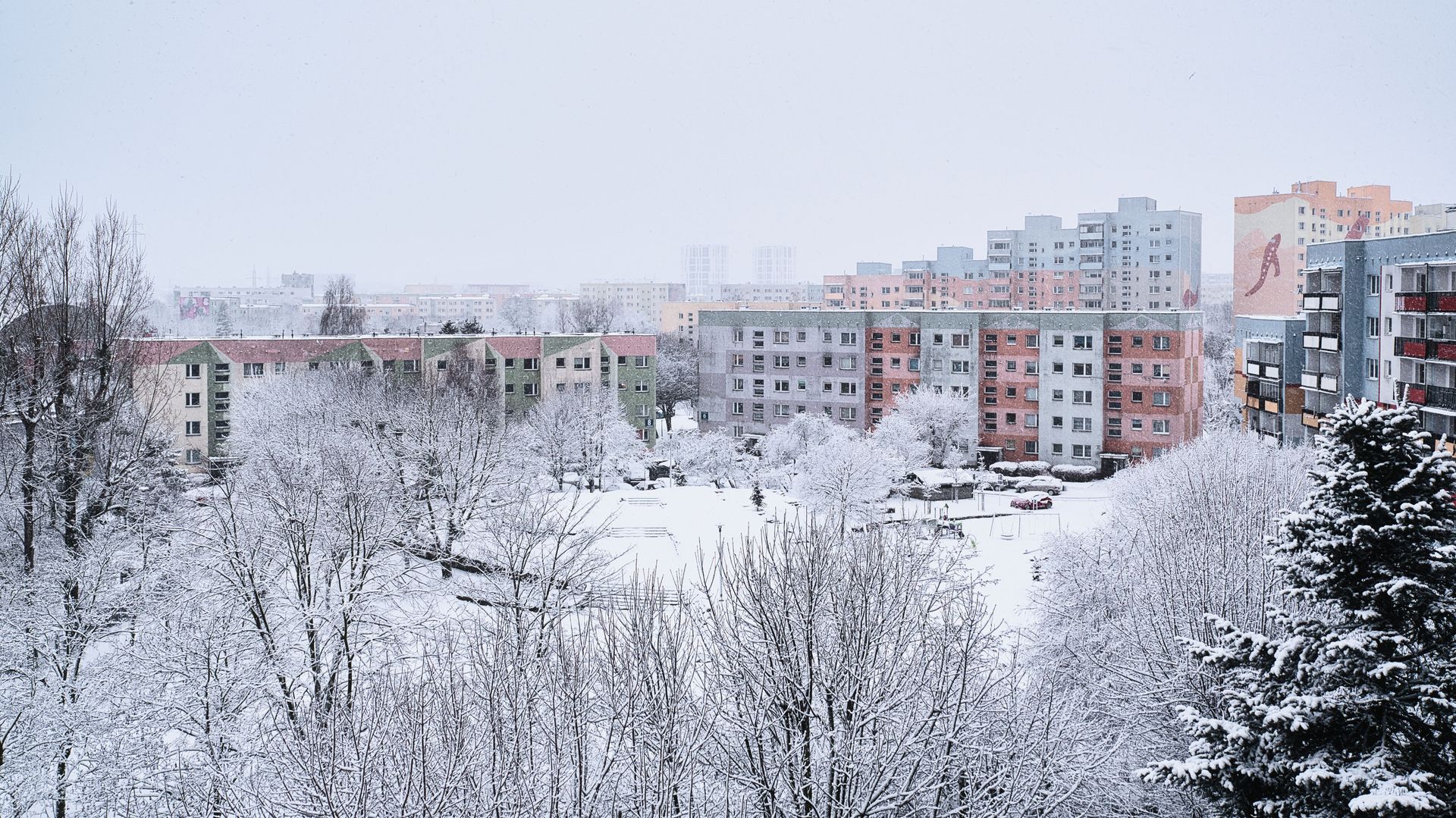
Apartment community snow removal needs more than plowing — resident safety and liability ride on the plan. ISO-certified, covering Vancouver, Seattle & Portland.
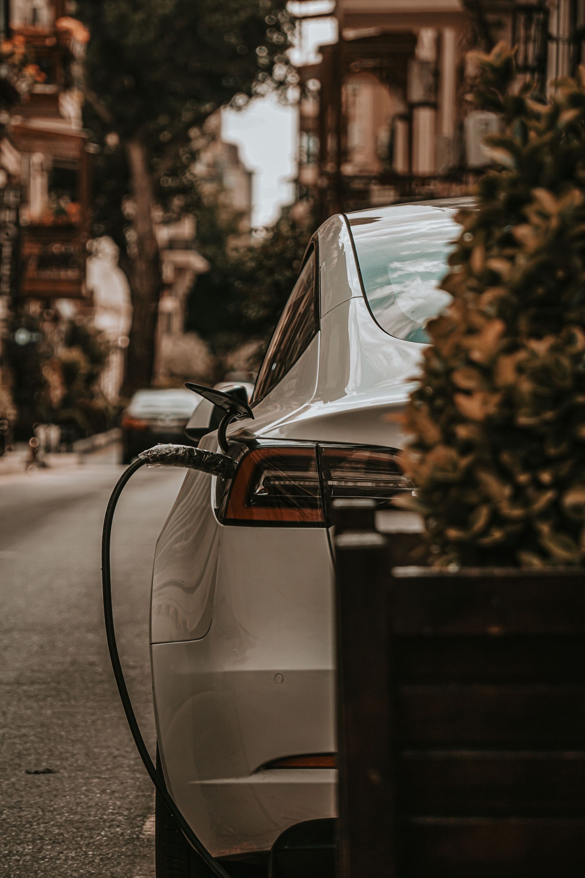
EV charging station snow removal isn't standard plowing — ADA access rules and equipment risk raise the stakes. See what Pacific Northwest properties need in their contract. ISO SN9001-certified Invictus covers Vancouver, Seattle, and Portland. Request a quote.
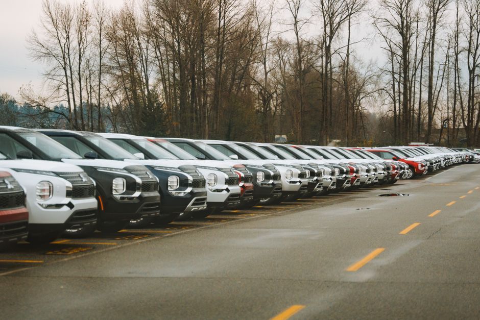
Car dealership snow removal protects more than pavement — it protects valuable vehicle inventory, customer safety, and your liability exposure. See what a dealership-specific SLA should include, from ISO SN9001-certified Invictus Snowfighters, the only snow removal company covering the full I-5 corridor from Vancouver to Portland. Request a quote.